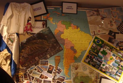
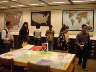
Using Maps and Atlases in the Classroom Professors and teachers interested in using special maps, map sets, or atlases to enhance their lessons should contact or visit the GCMC for information. Staff of the GCMC will even help create learning tools and lessons to use inside or outside the Center. This summer elementary students visited the GCMC and completed a scavenger hunt about maps created by the staff. And a class of geography students reviewed maps of Las Vegas and other cities to learn about development. The GCMC can provide materials for a number of disciplines and topics of study:
Anthropology, Archaeology, Sociology:
Ancient Egypt maps with features
Cuzco region of Peru (Machu Picchu) maps
Atlas for AnthropologyArchaeology of Jerusalem (map)
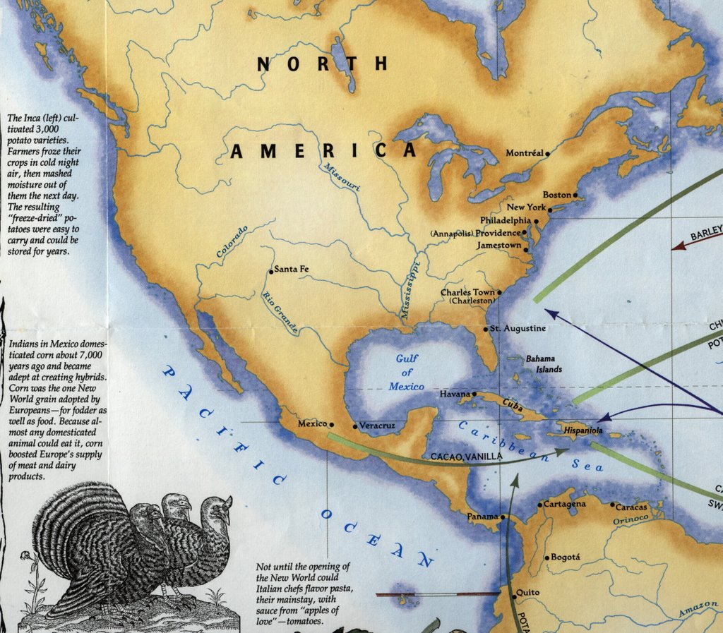
Archaeology and Indians of South America (map)
The State of the World on Monday, January 1st, 1000 A.D. (religions, staple foods, construction) (map)
Architecture and Planning:
Pictorial maps with architecture guides of world cities
Bird’s Eye View maps of American cities
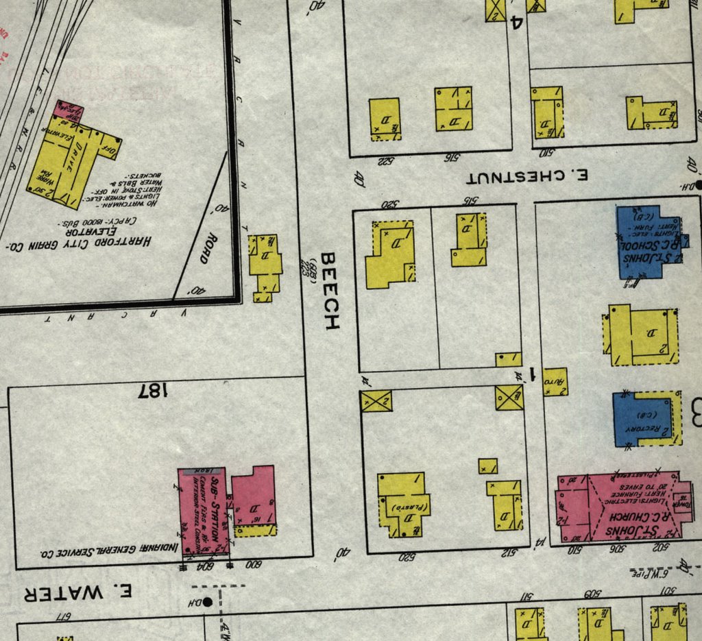
Sanborn fire insurance maps
USGS topographic maps for the United States
World topographic maps
The Phaidon Atlas of Contemporary World Architecture
Bird's Eye Views : Historic Lithographs of North American Cities (atlas)
Thousands of atlases and street maps of world cities
Art and Music:
Atlas of Western Art History
Harlem Renaissance Map: One Hundred Years of History, Art, and Culture (map)
Atlas of Art
Hitting the Road: The Art of the American Road Map (atlas)
Education:National Geographic topics/thematic maps with features (explorers, environment, soccer, animals)
Atlas of American Higher EducationIndian Country: North American Indian Cultures, a Legacy of Language and Inspired Ideas (map)
Growing Up in America: An Atlas of Youth in the USA
Children’s Atlas of the United StatesEnglish and Literature:Shakespeare’s Britain (map)
Literary Map of Indiana (map)
American Folklore and Legends (map)
Medieval England (map)
Land of the Limberlost (map)
Atlas of World Cultures : a Geographical Guide to Ethnographic Literature
Atlas of Fantasy (includes maps of fictional locations from Sherlock Holmes, Princess Bride, and many others)
Languages and Classics:Large collection of atlases in various languages (German, Polish, French, Japanese, Arabic)
Atlas of the World’s Languages
A Word Geography of England (atlas)
Tartan Map
Clan Map of Scotland
Spain in the Americas (map with features)
Geography:
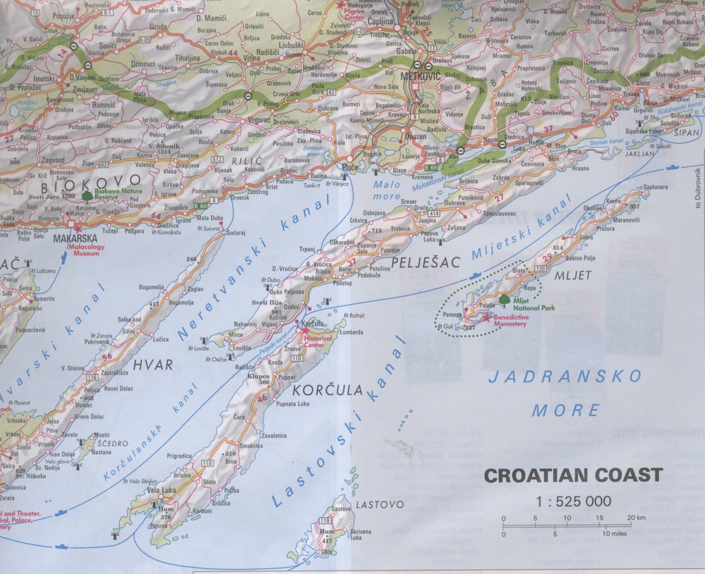
Travel and tourism, AAA guides
Tuscany Travel Reference MapWorld Travel Adventure Map
Traveler’s Atlas: A Global Guide to the Places You Must See in a LifetimeTouring Map of Israel
Travel Reference Map of the Amazon Basin
Gazetteers, geographical dictionaries, and other resources
History:Map of the Reservations at Fort Wayne, Indiana, Surveyed 1803 (map)
D-Day Normandy Landing Map (plus war-era map of Normandy)
Lewis and Clark Expedition (map)
World War I- and World War II-era maps (world, Germany, France)
A Map of the Travels of George WashingtonPearl Harbor/Pacific Theater Reference Map
Historical Atlas of the Celtic World
Underground Railroad Routes through Indiana (map—plus similar map of U.S.)
Civil War Battle Sites (map)
Large collection of historical atlases
Historical Atlas of Ancient Mesopotamia
Military Science:
Civil War maps and atlases
Revolutionary War maps and atlases
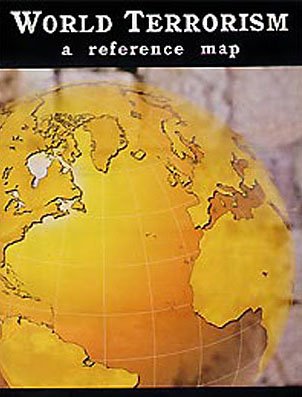
Iraq Planning MapMajor Insurgent Groups in Afghanistan 1985 (map)
CIA maps of world countries
U.S. Army Atlas of the European Theater in World War II
The War in the Persian Gulf (map)
Natural Resources and Environmental Management:Earth at Night (map)
Australia Under Siege (map)
Soil maps, land use maps, vegetation zones, wetlands, flood maps
Species in Africa (map)
Oil and Gas Product Pipelines in Indiana (map)
One Planet, Many People : Atlas of Our Changing Environment
Ecoregions of Indiana and Ohio (map)
Nursing, Physiology:Atlas of AIDSAtlas of American Women: Health, Disease, Pregnancy
Atlas of Disease DistributionsState of the World Atlas: Nutrition, Health RisksAIDS in Latin America and the Caribbean (map)
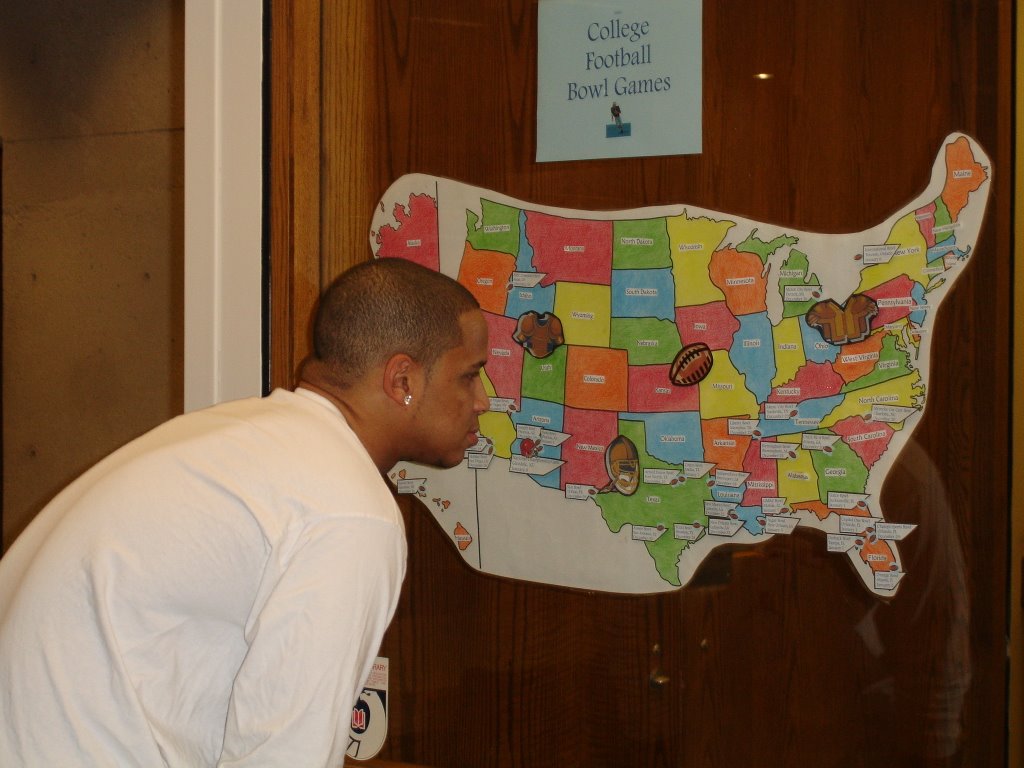
Physical Education and Sports:
Baseball Travel MapBike Trails Maps from various states
Soccer Unites the World (map with features)
Atlas of American Sport
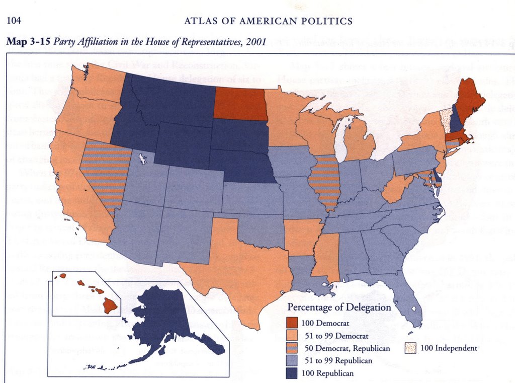
USA Today Golf AtlasPolitical Science:Presidential Elections, 1789-2000 (map with statistics)
Congressional Districts (map)
Atlas of American Politics
Kosovo Atlas and 2001 Election Day Reference Guide
Student Atlas of World PoliticsSouth Germany, National Assembly election results, 1919Religious Studies:
Atlas of Man and ReligionHistorical Atlas of the CrusadesHistorical Atlas of the Jewish People
Map showing distribution of religions in the world
Map of the Holy Land
Lands of the Bible Today (map)
Historical Atlas of Religion in America
Mormon Pioneer National Historic Trail (map)
Historical Atlas of Islam
Science:
Map of the Moon
Planetary maps
Galapagos Islands map
Titanic Reference Map (showing steamship routes, disaster site, other shipwreck sites, ocean currents)
Nautical and aeronautical charts of the world
Atlas of the Flora of the Great Plains
Irrigation Atlas of India
Hawaii’s Volcanoes Revealed (map)
This Dynamic Planet: World Map of Volcanoes, Earthquakes, Impact Craters, and Plate Tectonics (map)
Atlas of the Ocean
Location of Dinosaur Fossils (map)
Women’s Studies:Historical Atlas of Women in America
The State of Women in the World (Work, Education, Health, Personal Freedom) (atlas)
Other Interesting Maps and Atlases:Atlas of Treasure MapsUpside Down World Map
Route 66 Map
Sudan’s Darfur Region
Ball State University campus maps (historic to present)
Historical atlases for genealogy research
USGS topographic maps
Aerial photographs of Delaware, Grant, Madison, Randolph counties
8 ½ x 11” CIA maps of countries of the world
Aeronautical and nautical charts
Atlas of Fantasy (includes maps of fictional locations)

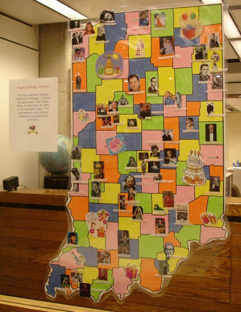 December Map Displays: Happy Birthday, Indiana